.gif)


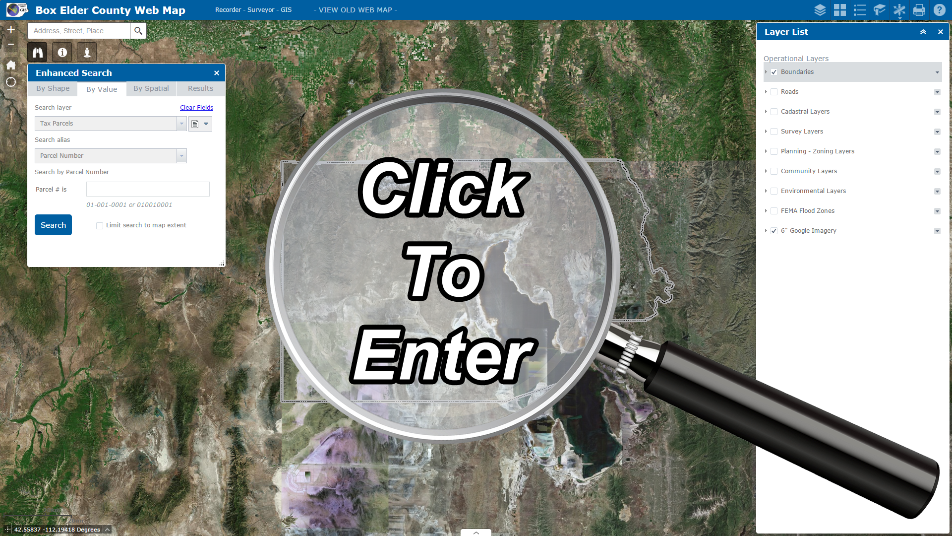
The Main Interactive Web Map is designed as a one stop shop to look up and compare information such as land ownership, boundaries, roads, zoning, survey and subdivision plats, section corners, environmental layers and much more. THIS WEB MAP WORKS ON ALL DEVICES.


The Parcel Drafter Web Map allows users to draw and create their own legal descriptions and see how they compare with parcels on record. Drawn parcels can be saved or edited, with the option to be reviewed by the GIS and Recorder's Office staff by request. Drawings will be kept for a short period of time and cleared regularly. This tool will hopefully help users visualize legal descriptions and prove valuable for title companies and the general public, alike. THIS WEB MAP WORKS ON ALL DEVICES.

This is the web map and applications page for the Box Elder County GIS Department. Check back frequently to see what new maps and apps have been deployed for public use. Feel free to contact us for questions, suggestions, or ideas about our maps and apps.
© Box Elder County. All rights reserved. | Design by TEMPLATED.
![]()
![]()
![]()